
Ocean County Neighbors by Parcel
Official sources can describe the land immediately around an Ocean County address, but each source has a narrow job. The GIS viewer provides geography and parcel relationships. The Tax Board provides parcel fields. The County Clerk indexes instruments linked to a selected legal description or party. Historical collections show a block at a particular date. A resident name, an ownership role, and a mailing address must remain separate observations rather than being combined into a claim about a current neighbor.
| Source | What It Shows About a Block | Access |
|---|---|---|
| Ocean County GIS parcels | Adjacent parcel geometry, parcel IDs, roads, municipal boundaries, imagery, zoning, flood areas, and easements or rights-of-way | Public ArcGIS hub; exact selection controls should be checked live |
| Tax Board detail | Municipality, block, lot, qualifier, mailing and situs, values, sale fields, and building data for one selected parcel | Parcel-by-parcel search; no universal owner-name block export observed |
| County Clerk index | Deed parties and instruments for a selected legal description or name, including linked records | Legal-description, name, date, or book/page search; redactions can apply |
| Directory and phone-book collections | Dated address-to-subscriber, business, or household clues | Library or Historical Society physical, microform, onsite, or request access |
| Voter file | Registration fields only to the extent public or supplied through a lawful county request | Exact lookup or county OPRA process; arbitrary block browsing is not confirmed |
| Historical maps | Earlier lots, landowners, village context, and street or building context | Library of Congress 1872 map and 1922 Lakewood Sanborn, each limited to its date |
Work outward from a single identified parcel. A visible structure can be a common element, a road right-of-way, water, or another non-household parcel type. The map is evidence of spatial relation, not a list of people who live on the block.
Map an Ocean County Block
The Ocean County Interactive GIS Hub is the starting map layer for an address-based neighbor question. It offers parcel, municipal-boundary, tax-map, aerial, zoning, flood, wetlands, stream, and easement or right-of-way context. Exact live buffer, radius, and selection labels were not exposed in the research, so do not promise a particular map control. Instead, use the selected target parcel and its identifiers as the bridge to the next record system.
- Find or zoom to the address, enable parcel and municipal-boundary context, and record the target parcel identifier and layer date.
- Pan along the immediate block or select adjoining polygons. Record each parcel's municipality, block, lot, and qualifier, rather than relying on a map pin.
- Run each identifier in the Tax Board Tax List Search and preserve the record year, property location, mailing address, deed date, book/page, and prior identifiers if shown.
- Use the book/page or legal description in the County Clerk index to check recorded instrument parties one parcel at a time.
The Tax Board's official links page is shown in the captured source image.
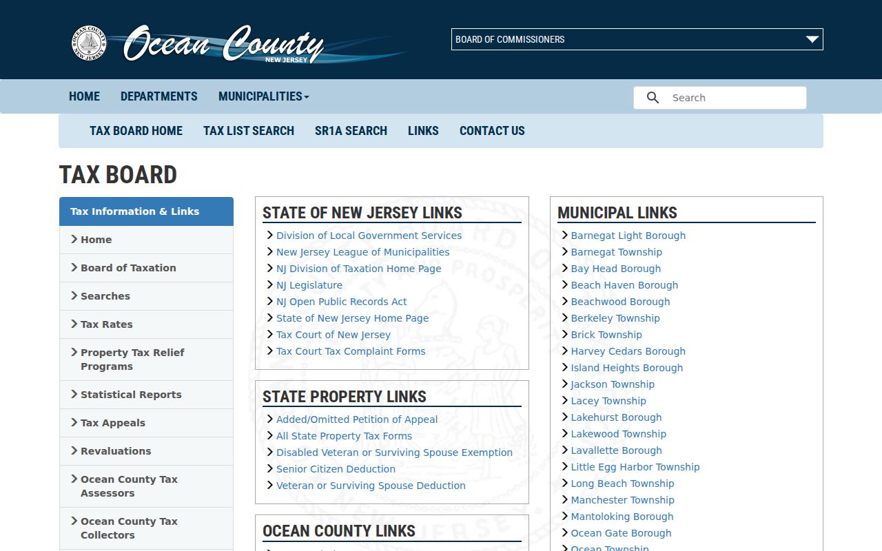
The Tax Board is a parcel-first system, so each block-level finding needs the municipality and parcel key before it can be checked.
For a full named-street chain rather than an immediate block, use the Ocean County street directory after the parcel work is complete.
Ocean County Neighbor Boundary Clues
Ocean County has 33 municipalities, barrier-island communities, mainland townships, and bayside boroughs. That geography matters when two parcels meet. Physically adjoining lots can have a different legal municipality, postal city, ZIP code, or local record custodian. The parcel's municipality, not a postal label or a map pin alone, should determine which Tax Board and deed details are being compared.
The GIS catalog identifies parcel data, municipal boundaries, tax maps, aerial and orthogonal imagery, zoning, FEMA flood layers, parks, preserved land, wetlands, streams, subdivision plans, and easements or rights-of-way. These layers can explain why an apparent neighbor is not a separately recorded household. A tax card may also show a mailing address that differs from the property situs. That mailing field is useful for the record trail but does not establish occupancy.
A parcel card can contain sale history, prior parcel IDs, building characteristics, and deed book/page while still falling short of title proof or a current-residence statement. Preserve the source label, date, and field meaning with every Ocean County neighbors result.
Ocean County Deed Checks for Neighbors
The County Clerk public-record search has a stated online index starting on April 1, 1977. Its Standard and Advanced routes support party names, document type, date, book/page, clerk file number, consideration, legal town, lot, block, map number, and linked documents. A legal-description search is more useful than a broad name match when following one selected neighbor parcel. The result grid should be saved with the query date, municipality, instrument type, book/page, and whether the row is an original or linked assignment, release, or satisfaction.
Follow a parcel's latest deed by first checking the Tax Board book/page and deed date, then inspect the latest purchase instrument and record the grantor and grantee roles. A seller can be an estate, trust, corporation, multiple people, or representative. Search the legal description and the relevant party in sequence, while keeping mortgage assignments, releases, satisfactions, and other linked documents in the record trail. For dates before the online start, move to county deed books, State Archives microfilm, county originals, or the digitized route noted by the Archives.
The County Clerk records and fee page is shown in this captured source image.
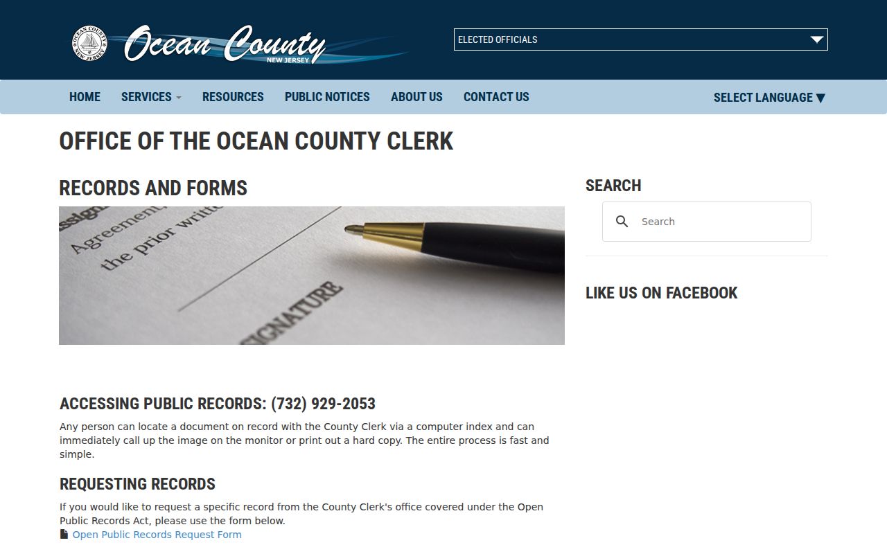
Use the live page when a copy is needed, because recording and copy details can change and the index result is not itself a title opinion.
Note: A deed party is connected to a recorded instrument, not a complete statement of who occupies the parcel today.
Ocean County Neighbor Association Leads
No complete countywide official directory of neighborhood or homeowner associations was located in the research. Do not infer that an association exists from a common element, a subdivision name, or a mailing address. The useful public layer is an umbrella and local-history inventory: it can identify where to ask for community context, while private member and household records remain outside a public neighbor search.
| Resource or Group Type | Ocean County Lead | Public Access Note |
|---|---|---|
| Historical-society umbrella | Ocean County Historical Society and the county Cultural and Heritage inventory | Historical resources and local-society context are public; member or household rosters were not located. |
| Barrier-island historical organizations | Long Beach Island Historical Association and Barnegat Light Historical Society | Historical collections may be public; member rosters were not located in official sources. |
| Municipal civic groups | Municipal clerk, governing-body, and public-notice records within each municipality | Names and public information are municipality-specific; no countywide umbrella directory was located. |
| Library and community-memory resources | Ocean County Library branches and the Wheeler Room | Program and research-resource pages are public; patron records are not. |
| Neighborhood or homeowner associations | Complete county inventory not located in official sources | Check a municipal record and the group's own published page for a targeted question. Do not create a contact list from parcel data. |
The Historical Society Data Center holds local newspapers, vital and obituary indexes, cemetery and funeral material, family files, maps, directories, yearbooks, and photos. Those holdings can supply dated community context. They are not a current countywide neighbor roster, and an absence from one collection should be recorded as an absence from that collection only.
Ocean County Neighbor Voter Boundaries
The New Jersey Voter Registration Search is a narrow exact-match service, not a public tool for browsing an entire block. The underlying statewide system can include residence, municipality, ZIP, ward, election district, registration dates, and participation history, but protected fields are not exposed through the public lookup. A voter file can identify civic record information. It does not reveal ballot choices or prove who is physically present at an address.
A fuller request follows the Ocean County election information request process, which calls for a signed form, delivery selection, and payment route. County instructions cite a 7 to 10 working-day estimate, while the live form remains the authority for current options. New Jersey law prohibits using voter-registration information for commercial or charitable solicitation. Preserve only the minimum necessary public fields and never republish a full voter-file extract.
The Ocean County Board of Elections contact page is the source shown in the image below.
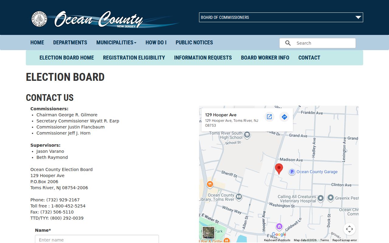
The election office is the correct custodian for a lawful voter-file request, not a substitute source for block-by-block household claims.
Historical Ocean County Neighbors
Historic maps add a dated view of a block without replacing current parcel records. The 1872 Beers map of Ocean County labels landowners, lots, and village insets, with business-directory and statistical material. The 1922 Lakewood Sanborn collection has 24 building-level sheets for Lakewood. Together they can help interpret an earlier lot, road, or building context before a deed, directory, or newspaper search.
| Historical Source | Best Block Question | Limit |
|---|---|---|
| 1872 Beers map | Which lots and landowner labels appeared in a nineteenth-century village or township setting? | It is a historical map, not proof of a present parcel boundary or owner. |
| 1922 Lakewood Sanborn | What was the street and building context in Lakewood at that time? | Its building-level coverage is limited to Lakewood and its date. |
Pair a map date with the relevant deed, directory, phone book, newspaper, probate, or census record. Ocean County's barrier-island and mainland geography makes postal, municipal, parcel, and historical labels especially likely to diverge across time.
Ocean County Neighbor Privacy
New Jersey records can be redacted for valid reasons. Daniel's Law shields home addresses and unpublished telephone numbers for covered officials and immediate household members, and the County Clerk warns that eligible entries may be redacted. The Office of Information Privacy explains the program. Do not reconstruct a protected current address from an older record or a source outside the official record trail.
The Address Confidentiality Program gives eligible participants a substitute address and forwarding protection. A substitute address is not a location clue. Court files, vital copies, voter fields, motor-vehicle information, utility accounts, and delivery information have separate restrictions. Keep the source URL, date, record type, and redaction note, and distinguish a property situs from a mailing address or postal city.
| Official Record Routes | Commercial Neighbor Tools |
|---|---|
| Show a source, date, custodian, and defined field set; access and redaction rules remain visible. | Can combine republished or marketing data that may be stale, incomplete, or incorrectly matched. |
| Allow a parcel, deed, map, or voter record to be checked against its original custodian. | Do not replace an official record when a result needs verification or when a protected field is absent. |
Lawful personal use. Use Ocean County neighbors records for careful property, family-history, civic, or community research. Never use a record to stalk, harass, intimidate, or harm another person.
Ocean County Neighbor Filing Alerts
The free Ocean County Property Alert can monitor a party name or a municipality, block, and lot when a recorded document matches. Those are two separate ways to note activity tied to a selected parcel. The Clerk states that an alert does not prevent fraud, establish title, or prove that a filing is valid. Confirm a suspicious deed, lien, or other instrument through the official index and image, then contact the appropriate office or law enforcement if needed.
The Property Alert registration page is shown in the official capture.
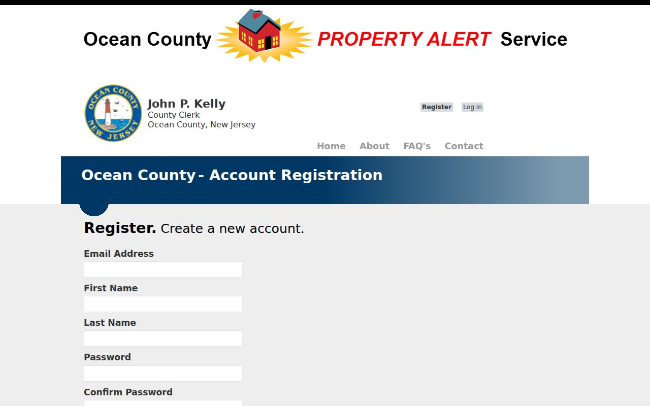
Use an alert as a prompt to review the custodian's record, while keeping it separate from conclusions about a neighbor or the current condition of a parcel.
Note: The live County Clerk records page is the safer source for current copy and fee details than an older saved schedule.