
Ocean County ZIP Code Coverage
The Ocean County ZIP code directory begins with a research set drawn from county municipal-address examples and state and Census cross-checks. It is not a USPS-certified countywide export. The county’s official municipality directory supplies useful postal examples, while USPS remains the delivery authority for a particular address. That distinction matters in Ocean County, where a postal place can serve more than one legal municipality and a small borough can disappear from a broad list built around larger towns.
| ZIP | Areas Covered | Post Office | Notes |
|---|---|---|---|
| 08005 | Barnegat Township | Barnegat-area delivery | Verify each address, as postal and legal municipality can differ. |
| 08006 | Barnegat Light | Barnegat Light | Barrier-island delivery pattern; check PO Box versus street route. |
| 08008 | Beach Haven, Long Beach Township, Ship Bottom, Surf City, Harvey Cedars | Long Beach Island-area offices/stations | One ZIP serves several barrier-island municipalities. |
| 08050 | Manahawkin and Stafford | Manahawkin | County municipal-office example. |
| 08087 | Little Egg Harbor and Tuckerton area | Tuckerton-area delivery | Confirm the municipal line and delivery result. |
| 08092 | Eagleswood and West Creek area | West Creek-area delivery | County directory includes a West Creek example. |
| 08527 | Jackson | Jackson | Postal and municipal names often align, but preserve the record date. |
| 08701 | Lakewood | Lakewood | Township delivery and PO Box patterns may differ. |
| 08721 | Bayville and Berkeley | Bayville | County directory includes a Berkeley office example. |
| 08722 | Beachwood | Beachwood | Small borough kept separate from Berkeley. |
| 08723 / 08724 | Brick | Brick | Multiple Brick ZIPs require an address lookup. |
| 08731 | Forked River and Lacey | Forked River | County directory’s Lacey office example. |
| 08732 | Island Heights | Island Heights | Borough-specific postal example. |
| 08733 | Lakehurst | Lakehurst | Borough-specific postal example. |
| 08734 | Lanoka Harbor and Lacey | Lanoka Harbor | Township delivery route, so verify the street address. |
| 08735 | Lavallette | Lavallette | Barrier-island borough. |
| 08738 | Mantoloking | Mantoloking | Coastal borough; verify the exact delivery route. |
| 08740 | Ocean Gate | Ocean Gate | Borough-specific postal example. |
| 08741 | Pine Beach | Pine Beach | Easy to omit when a list uses only prominent towns. |
| 08742 | Bay Head and Point Pleasant | Point Pleasant-area delivery | Multiple legal municipalities share this postal area. |
| 08751 | Seaside Heights | Seaside Heights | Barrier-island borough. |
| 08752 | Seaside Park | Seaside Park | Barrier-island borough. |
| 08753 / 08754 / 08755 / 08756 | Toms River and nearby delivery routes | Toms River | A Toms River postal city is not a substitute for the township or borough. |
| 08757 / 08759 | Manchester and Whiting-area routes | Manchester / Whiting | Verify the exact address and ZIP. |
| 08758 | Waretown and Ocean Township | Waretown | County directory’s Ocean Township office example. |
Several delivery details were not located in an official single-county export, including each ZIP’s exact station assignment, PO Box-only status, unique institutional use, and any split or realignment history. Treat the table as a starting point for postal research, not as proof of a delivery assignment. The next step is a USPS address result, paired with the relevant municipal or parcel record.
Ocean County Postal Place Names
Ocean County has 33 municipalities, but its postal geography follows delivery routes rather than the county’s legal boundaries. The mismatch is most visible where barrier-island communities, mainland townships, bayside boroughs, and a shared postal city sit close together. A mailing line that says Point Pleasant or Toms River can be useful for delivery, yet the municipal clerk, tax assessor, court, or election office may organize the record under another legal place name.
Keep both labels when comparing records. For a current parcel, use the tax card’s municipality and parcel identifiers. For a directory entry, retain the source-era spelling. For mail, preserve the USPS result. This records geography is especially important when an old document uses Dover Township while a current address uses Toms River, or when a barrier-island ZIP covers several municipalities.
Ocean County’s Data Book provides municipal population, land, parcel, and development context. Its county and municipal view helps explain why a ZIP code is a useful locator but not a jurisdiction label.
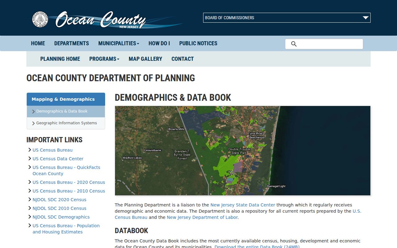
The Data Book capture is a reminder to keep a postal area separate from the county’s municipal and parcel geography.
Check an Ocean County ZIP Code
The USPS ZIP Code Lookup is the operational check for one deliverable address. Enter the full address rather than selecting a ZIP from a county list. Confirm the returned address line, city, state, and ZIP together, then save the date of the check. USPS delivery information resolves the postal question; it does not decide ownership, occupancy, a municipal boundary, or the correct custodian for a record.
| USPS lookup item | Research use |
|---|---|
| Street address | Tests the exact delivery address rather than a town name alone. |
| City and state | Confirms the postal presentation returned for that address. |
| ZIP and ZIP+4 | Records the delivery ZIP and, when returned, the more specific ZIP+4. |
| Search date | Shows when the delivery result was checked because postal assignments can change. |
The reviewed USPS interface does not expose a simple official countywide ZIP export. It also did not establish every PO Box or special-use assignment. Use a representative lookup for a mainland, barrier-island, border, or PO Box address instead of inferring one address from another.
The USPS address lookup screen is the source shown below.
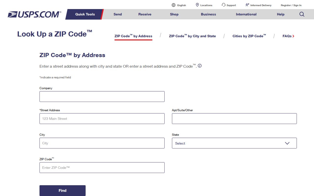
The address-first form is why an Ocean County ZIP code directory should not promise a one-click countywide resident list.
Find Records Within an Ocean County ZIP
An Ocean County ZIP code can organize an address-based inquiry, but no single reviewed county portal performs a ZIP-wide resident search. Start with an exact postal address, then move into the parcel, deed, voter, or municipal system that answers the particular question. The Tax Board is keyed to municipality and parcel fields. The County Clerk search is keyed to parties, legal descriptions, documents, dates, maps, and book or page information. The public voter lookup is narrower than the statutory voter file and uses an exact-match path.
- Check the complete address in USPS and retain the postal city and ZIP returned for that address.
- Use the county GIS map to identify the municipality and parcel context, then record the parcel identifier.
- Search the Tax List Search with the municipality, block, lot, qualifier, or property-location information available from the parcel trail.
- Use the Clerk index for a documented land-record question, or make a narrow request to the appropriate custodian when the needed record is not online.
- For voter-file material, follow the county’s signed request process and ask only for an existing, lawful record with enough identifying detail to locate it.
Once a ZIP has narrowed the location to a street and a parcel, the Ocean County street directory handles the fuller address-by-address trail. A ZIP code alone does not prove occupancy, and a tax parcel may show a mailing address that is different from the property situs.
Ocean County Portal Search Fields
The county’s most useful address systems show why a ZIP code search is not a substitute for a parcel search. The Ocean County Board of Taxation Tax List Search accepts municipality, block, lot, qualifier, property class, and property location. No ZIP filter was exposed during research. The viewer is useful after USPS has verified a delivery address and GIS has helped place it in the correct municipal context.
| Field | Type | Required | Format or limit |
|---|---|---|---|
| Municipality | Selection | Yes for parcel context | Use the legal municipality, not just the postal city. |
| Block | Text or number | As available | Parcel identifier component. |
| Lot | Text or number | As available | Parcel identifier component. |
| Qualifier | Text | No | Use when the parcel identifier carries one. |
| Property class | Selection | No | Portal filter observed in the current program. |
| Property location | Text | No | Address-oriented field, but no ZIP field was observed. |
The Clerk’s SearchNG index likewise has no observed ZIP filter. Its documented routes include party, legal, document, date, map, book/page, file number, consideration, and linked documents. The voter-record statute includes a ZIP field, but the public lookup’s possible county or ZIP controls were blocked during review, and the complete file route uses the county form.
Note: A field existing in an underlying record does not mean the public screen offers it as a search filter.
Map Ocean County ZIP Code Areas
Use a Census ZIP Code Tabulation Area, or ZCTA, for a broad statistical map rather than delivery proof. Census explains that a ZCTA is a generalized approximation created from point-based ZIP delivery data. It may be noncontiguous, contain islands or enclaves, reflect PO Box or institutional patterns, or omit a valid ZIP without enough tabulation geography. The boundary can be useful for an Ocean County map, but it cannot answer whether USPS serves one address.
Census ZCTA guidance explains the delivery-boundary limitation.
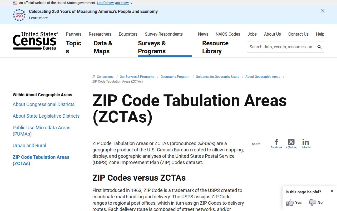
The Census explanation supports using ZCTA geography for comparison while leaving delivery verification to USPS.
The Census 2020 ZCTA download page supplies the mapping route captured here.
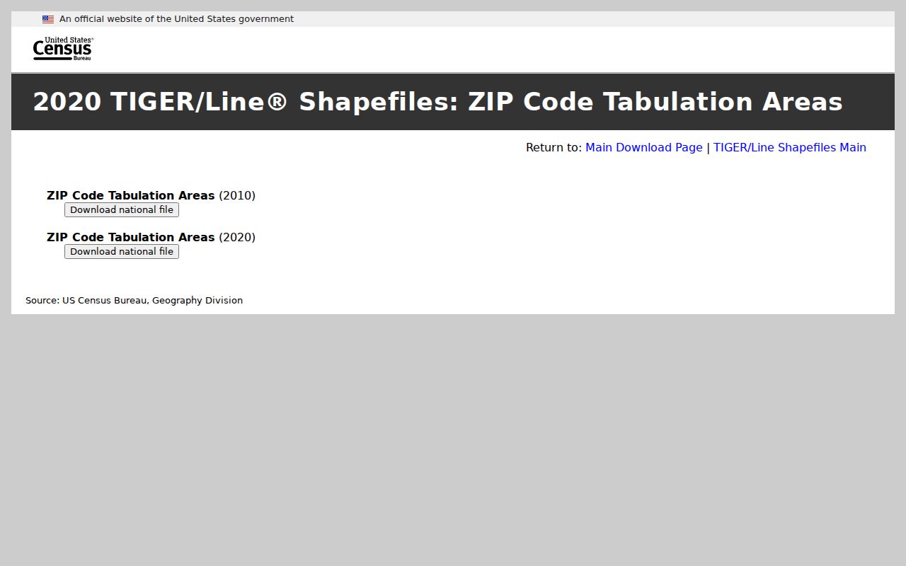
Pair a ZCTA layer with Ocean County municipal-boundary and parcel layers when the goal is to understand geography, not to certify delivery.
Barrier-Island Ocean County ZIPs
Ocean County’s barrier-island and mainland pattern produces some of the clearest ZIP mismatches. The research set places Beach Haven, Long Beach Township, Ship Bottom, Surf City, and Harvey Cedars under 08008 as Long Beach Island-area delivery. It separately lists Barnegat Light, Lavallette, Mantoloking, Seaside Heights, and Seaside Park. These places are close on a map, but the postal, legal-municipality, parcel, and historical labels may not match.
For a family-history or property question, preserve the exact label used by the source. A historical directory may use a community name, a tax card a legal municipality, and USPS a postal city. The county GIS viewer can show parcel and municipal boundaries, while the Clerk and Tax Board provide the record systems that use those identifiers.
Note: Barrier-island ZIP geography is a location aid, not a substitute for the source date and legal municipality attached to a record.
Small Ocean County ZIP Records
Pine Beach demonstrates why small boroughs deserve their own check. The county municipality directory gives Pine Beach a 08741 municipal address, yet broad lists focused on larger towns can leave it out. Treat an apparent omission as a prompt to compare the county directory, USPS result, and current municipal information, not as evidence that the borough lacks a distinct postal association.
This approach also prevents a nearby larger postal name from replacing the municipality stored in a deed, parcel, election, or archival record. The county’s local history materials make the same distinction over time: Toms River was the village name while its municipality was Dover Township until the 2006 formal name change. Old labels should be cross-referenced, not overwritten.
Keep Ocean County Address Fields
For each Ocean County ZIP code directory entry, keep the original address string and a separately normalized version. Useful fields include the street number, any fractional number, directional prefix or suffix, street name and type, unit or PO Box, postal city, legal municipality, state, ZIP, verified ZIP+4, parcel block/lot/qualifier, source date, and source type. This prevents a modern mailing line from silently changing an older directory or deed reference.
- ZIP and ZIP+4
- A ZIP identifies a delivery area. ZIP+4 adds a more specific delivery segment when USPS returns it for an address.
- PO Box ZIP
- A ZIP used for PO Box service or a postal arrangement. The research did not establish every Ocean County PO Box assignment.
- Unique ZIP
- A ZIP associated with one institution or special delivery arrangement. Do not assume one without an official USPS result.
- Carrier route
- A delivery route used by postal operations. It is not a legal municipal boundary or proof of residence.
GIS can bridge an address to a parcel, but use the parcel ID, not a pin alone, to continue into the Tax Board and Clerk systems. Adjacent parcels can have different ZIPs, owners, municipalities, and custodians even when they share a road.
Ocean County ZIP Codes and City Limits
A ZIP code boundary and a city or township line answer different questions. Ocean County examples include 08008, which reaches several Long Beach Island municipalities, 08742, which covers Bay Head and Point Pleasant examples, and the multiple 08753 through 08756 Toms River delivery routes. The postal city helps a letter arrive. The legal municipality determines many record custodians, parcel rolls, and municipal files.
When the labels disagree, first verify delivery with USPS. Next identify the municipal and parcel context through the county GIS, Tax Board, or the official municipality directory. Then ask the custodian for a specific existing record under New Jersey’s Open Public Records Act, N.J.S.A. 47:1A-1 et seq., if an online index does not expose it. A request may be narrowed by address, date range, municipality, parcel, docket, or file number and can still be redacted or denied under an exemption.
Note: An address mismatch is information to document, not a reason to guess a person’s current location or to replace a protected address.