
Ocean Previous Residents by Era
Ocean previous residents require separate sources for separate periods. The County Clerk’s online SearchNG index covers recorded instruments from April 1, 1977. Older land research moves through county deed books, State Archives microfilm, county originals, and the Archives routes noted for digitized records. Printed directories, telephone books, newspaper indexes, census material, and historical maps can then add the household layer. A deed party is not automatically an occupant, and a directory entry is not proof of ownership.
The table keeps the Ocean address trail in date order. Use the source that covers the year first, then compare it with a second dated source before naming past residents.
| Source | Years It Covers | Where Held | What It Shows |
|---|---|---|---|
| Ocean County Clerk online index | April 1, 1977 to the stated current system range | SearchNG | Recorded parties, instruments, legal descriptions, images, and linked documents. |
| County deed books and Archives microfilm | Deed books begin in 1785 or at county creation; deeds through 1900 are microfilmed | County originals, New Jersey State Archives, and Archives-noted partner digitization | Earlier grantor, grantee, legal-description, and land-chain evidence. |
| Toms River Polk’s directories | 1963, 1966, 1969 | New Jersey State Library holdings and library access | Historical household, business, address, and telephone clues. |
| Historical Society telephone books | 1956–57; 1970–2007; 2010; 2014 | Ocean County Historical Society Data Center | Subscriber and address clues, with meaningful year gaps. |
| Local newspaper indexes | 1852–1968 broad index; narrower notices through 1893 | Ocean Historical Society and Library | Family, event, address, and community references. |
| Federal census | Released through the 72-year rule; Ocean resources cover 1840–1950 | Archives and library databases | Household composition, names, ages, and location for census years. |
For a recent transfer, the Ocean parcel and deed records are the first route. For a pre-1977 transfer, shift to the deed-book and Archives layer before expecting a web-index result.
Ocean Records Parcel Start
Begin an Ocean backward trail with the parcel rather than an assumed owner name. The Ocean County Tax Board Tax List Search is keyed to municipality, block, lot, qualifier, and property location. Its detail view can show deed date, book and page, sale history, mailing address, situs, physical characteristics, and previous parcel identifiers. A mailing address can be out of county or out of state, so it does not prove that someone lived at the Ocean property.
The Ocean County Interactive GIS Hub helps place that parcel among tax maps, municipal lines, imagery, zoning, flood, wetlands, easements, and other map layers. GIS establishes spatial context and parcel IDs. It does not establish who occupied an Ocean address.
Write the municipality, block, lot, qualifier, deed date, book/page, prior identifiers, and situs exactly as presented. These details are the bridge to the Ocean County Clerk index when street numbers or municipal labels have changed.
Note: An Ocean mailing address and an Ocean situs are different parcel fields and should not be treated as the same evidence.
Ocean Records Deed Chain
A chain of title is the sequence of recorded instruments that transfers or affects land. Ocean previous residents research uses it to identify prior parties, then checks separate household sources for actual address clues. Follow every recorded step. Mortgages, assignments, releases, satisfactions, and discharges can explain why the same Ocean names or parcel appear in more than one document.
- Open the Ocean Tax Board parcel record and copy the legal description, municipality, block, lot, qualifier, deed date, and book/page.
- Use the Ocean County Clerk SearchNG index to find the latest purchase instrument through book/page, party name, or legal-description fields.
- Record the instrument type, grantor, grantee, date, Clerk file number, and whether an image or linked document is available.
- Search the seller as a prior grantee and repeat the legal-description check, keeping the party’s exact role rather than treating a trust, estate, representative, or company as an individual.
- At the April 1, 1977 online boundary, continue with county deed books, State Archives microfilm, originals, or the documented Archives digitization route.
- Grantor
- The party transferring or conveying an interest in a recorded instrument.
- Grantee
- The party receiving an interest in that instrument. A name may appear in several roles across the Ocean chain.
- Chain of title
- The linked sequence of land instruments. It is not a guarantee of title or an occupancy list.
- Legal description
- The recorded land identifier, such as municipality, block, lot, map, or subdivision reference. It can outlast a changing street address.
Note: Keep Ocean grantor and grantee roles separate because the same name can appear in a sale, mortgage, or release.
Ocean Records SearchNG Backward Search
The Ocean County Clerk SearchNG help documents party-name searches with ALL or ANY logic, automatic prefix wildcard behavior, More Names, a two-party AND option, document type, date range, book/page, Clerk file number, consideration, legal town/lot/block, map number, and linked-document choices. Search results are a grid of party names and record rows. The detail and image commands help distinguish the original deed from a later related instrument.
Save the query and search date with the Ocean result. A name search can return several people, multiple party roles, or a linked assignment. The index begins at its stated cutoff, so a failed 1976 search does not mean the Ocean parcel had no earlier owner.
When an Ocean image is not available online, the County Clerk records and forms page says any person may use the computer index and request an image or hard copy. The public-records phone is 732-929-2053, and the same page links an OPRA request for a specific County Clerk record. Check the live fee schedule before ordering a copy.
Property Alert is a separate tool. Its Ocean County page describes party-name and municipality/block/lot monitoring choices. It sends notice of a matching filing, but the Clerk says it does not prevent fraud and it is not title proof.
See the Ocean County Property Alert page for the limits of an Ocean monitoring notice.
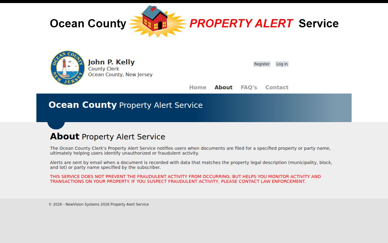
Use an Ocean alert for future recorded-document notice, not as proof of who lived at the address or who owns it now.
Ocean Directory and Census Pairing
Deeds identify land parties. To learn who lived there before, pair a dated directory or telephone-book clue with the appropriate census, newspaper, obituary, cemetery, probate, or school source. The documented Toms River Polk’s editions are 1963, 1966, and 1969. The Ocean Historical Society adds telephone directories for 1956–57, 1970–2007, 2010, and 2014, while its newspaper birth, marriage, and obituary index extends broadly from 1852 to 1968.
Ocean address trail: parcel and deed date → nearest directory or phone-book edition → census year available for release → local newspaper, obituary, cemetery, or probate pointer. Each source has a different date and purpose. Preserve the gap instead of filling it with a guess. The collection details and instructions for reading a volume are on the Ocean city directory page.
The remote Tuckerton Beacon archive stops at 1922, although the full library-location run continues through 1987. That Ocean access difference can decide whether the next step is an online search or a library visit.
Ocean Records Research Requests
The Ocean County Historical Society Research Center offers a practical local fallback when an Ocean deed or directory trail ends. The published Research Center details list 26 Hadley Avenue in Toms River, Tuesday, Wednesday, and the first Saturday from 1–4 p.m., 732-341-1880, and ochs_research@verizon.net. A specific-information request is $5 for members and non-members. Ask for the exact finding aid, call number, page, and access restriction rather than asking for a conclusion about an Ocean person.
See the Ocean Historical Society Research Center source before arranging an onsite visit or a limited request.

The Ocean research center connects telephone books, local newspapers, maps, yearbooks, family files, cemetery records, and other repository material. No formal countywide house-history guide was located, so use the collection-specific trail.
Note: Ask for the Ocean finding aid before requesting a scan, because not every local index contains the underlying document image.
Ocean Records Before County Formation
Ocean County was set off from Monmouth County on February 15, 1850. The first Board of Freeholders met in Toms River on May 8, 1850, at the Thomas P. Barkalow House, also called the Ocean House. For an Ocean property trail before 1850, search Monmouth County and the relevant earlier township as well. Jackson was formed from Dover in 1844, and Plumsted formed from Jackson in 1845.
The Ocean County historical timeline records those township transitions and helps place an old legal label in its period.
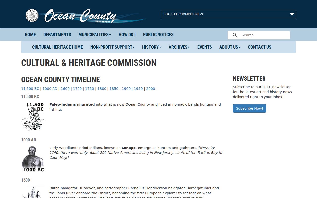
The Ocean timeline is a routing tool, not a substitute for the deed or census record. It explains why a family or parcel may appear under a predecessor jurisdiction.
For Toms River research, test both Toms River and Dover Township. The municipality changed its formal name from Dover Township to Toms River Township in 2006, and an older Ocean directory or deed may retain the earlier name.
Note: Retain the Ocean township name printed in each source, then add a modern cross-reference in your research notes.
Ocean Records Map Context
The 1872 Library of Congress Ocean County map shows landowners, lots, roads, village insets, business-directory material, and statistics. The 1922 Lakewood Sanborn resource adds building and street context across 24 sheets. Neither map names every past resident or replaces a current Ocean parcel record. They can, however, connect a legal description or historic street to the physical setting of a recorded transfer.
Consult the Ocean County courthouse history when placing an early Ocean record trail in the county’s own administrative history.
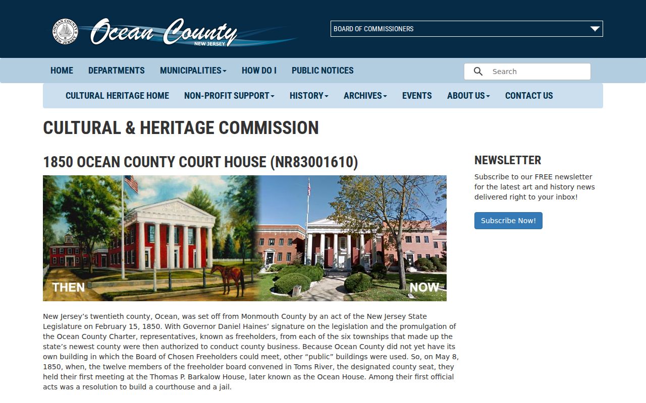
The early courthouse story gives context for an Ocean records search. It does not demonstrate that a particular household lived at a particular property.
Ocean Previous Residents Limits
Ocean County records can show a mailing address, a property situs, a legal municipality, or a postal city, and those labels may not match. A tax card is an assessment record, while a recorded deed is an instrument record. A directory may list a subscriber or household at the edition date. Keep the source label and date with each statement about Ocean previous residents.
The New Jersey State Archives genealogy collections are the documented archival route for deeds, probate, census, historical vital, naturalization, and related Ocean records. Their collection page can help identify a historical series when the county portal stops.
Open the Archives genealogy collection screen for Ocean records that predate the web index.
The Archives may lead to a finding aid, microfilm, county-original, or partner route rather than a direct name result. Note: A missing name, a redacted field, or a gap in an Ocean run is a research result, not permission to fill it from an uncontrolled copy.